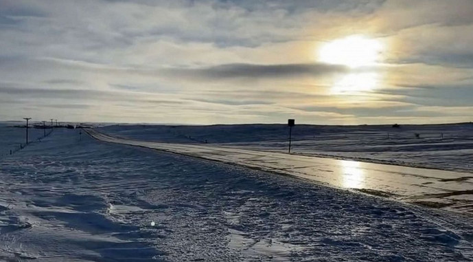
Cold weather has arrived for most of the US so bundle up


Although the winter solstice is days away, frigid temperatures have already arrived for much of the U.S.
A winter storm system that took more than a week to sweep across a large portion of the country from west to east blanketed many regions in snow, bringing deadly tornadoes to the South and blizzard-like conditions in other parts of the country.
The storm brought 4-6 feet of snow to the Sierra Nevada mountain range and 2-4 inches of rain to the West Coast.
As much as 8 feet of snow had already accumulated in drifts, with another 4 feet being dumped on the northern Plains in a snowstorm that also brought whiteout conditions and winds of up to 40 mph.
In some Northeast regions, as much as 2 feet of snow fell during a nor-easter, while closer to the coast, up to 2 inches of rain was experienced.
Some spots in northern Maine had an additional 6 to 12 inches of snowfall on Sunday morning. The system is expected to exit into the Atlantic Ocean by Sunday night.
Chilly conditions across much of the U.S. are in its wake in the week leading up to Christmas.
Temperatures across the northern plains are already cold and they will continue to drop as the week progresses. On Friday, the lowest temperatures across the Dakotas and Minnesota may reach -40 Fahrenheit, with wind chills around -50 degrees.
By Friday morning, temperatures may drop below zero as far south as Texas, which could strain the state’s energy grid.
A strong storm is expected along the East Coast toward the end of the week and heading into Christmas Eve, which can often be produced by this type of weather pattern.


